
Middle School | Formative Assessment Probe
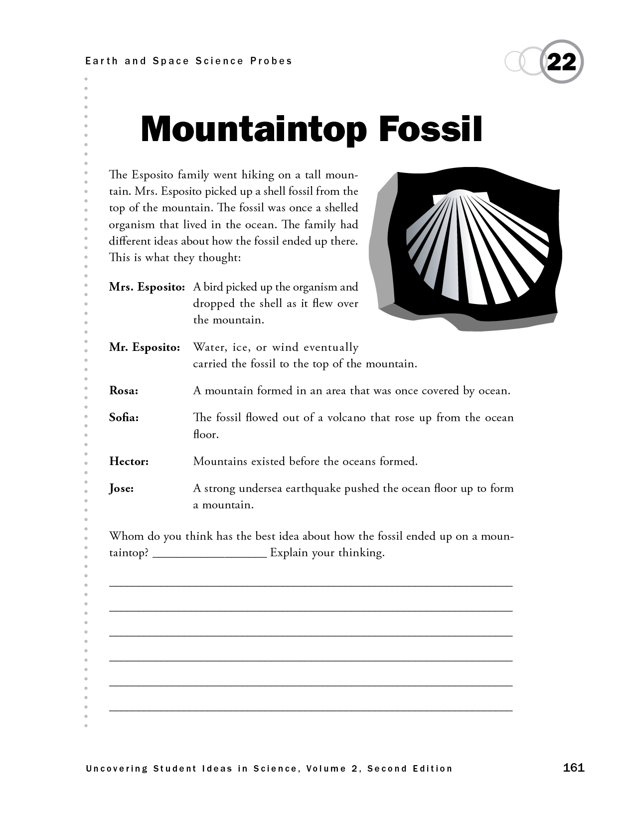
Mountaintop Fossil
By Page Keeley
Assessment Earth & Space Science Middle School
Sensemaking Checklist


This is the new updated edition of the first book in the bestselling Uncovering Student Ideas in Science series. Like the first edition of volume 1, this book helps pinpoint what your students know (or think they know) so you can monitor their learning and adjust your teaching accordingly. Loaded with classroom-friendly features you can use immediately, the book includes 25 “probes”—brief, easily administered formative assessments designed to understand your students’ thinking about 60 core science concepts.
Purpose
The purpose of this assessment probe is to elicit students’ ideas about mountain formation. The probe is designed to determine whether students recognize that some mountains are formed from the uplift of Earth’s crust over a long period of time as a result of tectonic plate interaction, including areas that were once covered by ocean.
Type of Probe
Friendly talk
Related Concepts
Fossil, uplift, mountain formation, plate tectonics
Explanation
The best answer is Rosa’s: A mountain formed in an area that was once covered by ocean. Over long periods of geologic time, Earth’s crust goes through several changes. Where oceans, shallow seas, and muddy marshes once existed, today there may be mountains. Ancient marine organisms died and were covered with sediments that, over time, hardened and formed sedimentary rock. The imprints left by the hard shells of mollusks and even mineralized parts of their shells remained in the sedimentary rock. Additional layers of sedimentary rock formed over the fossils. Over a long period of time, these layers of rock were uplifted through the movement of tectonic plates to form mountains. As mountains formed, the fossils were elevated along with the rock in which they were formed. Today, the processes of weathering and erosion expose the fossils in the rock that were formed millions of years ago. Marine fossils are found on some of the world’s highest mountain chains, such as the Himalayas, which are still increasing in height today as tectonic plates push the land upward.
Curricular and Instructional Considerations
Elementary Students
Elementary students should have the opportunity to learn about different types of landforms, rocks, and fossils with an understanding that there are processes that change the surface of Earth over long periods of time. Upper elementary students learn how rock layers are used as evidence to understand changes that happen to Earth over time. They use maps to look for patterns of surface features, such as mountain ranges, and begin to develop an understanding of processes related to plate tectonics.
Middle School Students
The study of Earth’s history provides evidence about the evolution of Earth’s features, including the distribution of land and sea, features of the crust such as mountains, and the populations of living organisms that existed at different times. Students develop an understanding that Earth has gone through many changes and that where oceans once existed, mountains may exist today. Students use the theory of plate tectonics and its relationship to the rock cycle to explain changes to Earth. At this level, students move from recognizing patterns of mountain chain formation to understanding how tectonic processes created these mountain chains. Students use evidence from rock strata, fossils, and geologic mapping to better understand geological changes.
High School Students
At this level, students build on their middle school knowledge of Earth’s geologic history, developing an integrated understanding about the Earth system that includes the rock cycle, crustal dynamics, geochemical processes, and the expanded concept of geologic time. They understand and use the evidence base for determining the story of Earth’s crust, climate, and evolving life-forms.
Administering the Probe
This probe can be used with students in grades 3–12. It may be helpful to show students an example of a shell fossil. You might also show a picture of a tall mountain chain, such as the Andes, where shell fossils have been found.
Related Research
- A study by Horizons Research identified several misconceptions related to mountain formation: All changes to Earth’s surface occur suddenly and rapidly; earthquakes, volcanoes, and mountain formation usually occur in the same general areas, but there is no explanation for this; and mountains form when earthquakes push the ground up (Ford and Taylor 2006).
- Students have a difficult time understanding the magnitude of geologic time. Because their experience with time has been in seconds, minutes, hours, days, weeks, and years, the concept of thousands, millions, and billions of years is almost incomprehensible (Trend 1998).
- Some students have a landform and ocean basin conception that involves a progressively decreasing slope from the center of the continents to the center of the bottom of the ocean and then back up again (Marques and Thompson 1997).
- Students may think of mountain-building as occurring only through catastrophic events such as earthquakes or volcanoes. They often fail to recognize the slow process of uplift over millions of years (Phillips 1991).
- Students of all ages may hold the view that the world has always been the way it is now and any changes that occurred were sudden and comprehensive (Freyberg 1985).
Related NSTA Resources
Keeley, P. 2015. Mountaintop fossil: A puzzling phenomenon. Science and Children 53 (4): 24–26.
Rivet, A. E. 2017. Core idea ESS2: Earth’s systems. In Disciplinary core ideas: Reshaping teaching and learning, ed. R. G. Duncan, J. Krajcik, and A. E. Rivet, 205–223. Arlington, VA: NSTA Press.
Wheeler-Toppen, J. 2016. Once upon an Earth science Book: 12 interdisciplinary activities to create confident readers. Arlington, VA: NSTA Press.
Suggestions for Instruction and Assessment
- The probe “Is It a Fossil?” in Uncovering Student Ideas in Earth and Environmental Science can be used to elicit students’ ideas about fossils and how they are formed (Keeley and Tucker 2016).
- Have students use the analogy that Earth is like a puzzle to illustrate how evidence from our geologic past is pieced together to explain puzzling phenomena such as how a whale fossil ended up on top of an Andes mountain peak.
- When revisiting the probe a second time, and after students have had the opportunity to learn about and use ideas and evidence about how mountains are formed, ask students to use the crosscutting concept of scale in their revised explanations.
- Have students identify tall mountain chains, such as the Himalayas and Andes, research the type of fossils found on those mountains, and explain why they are found there.
- Be aware that some students may use the biblical explanation of a huge global flood to explain how ancient marine organisms ended up on mountaintops. Share evidence first explained by Leonardo da Vinci as to why this explanation cannot explain how marine fossils ended up on mountaintops. For example, fossils on mountains are often in the same positions as they would be found when living. A flood would have scattered organisms and redeposited them (Gould 1998).
- Challenge students to explain how marine fossils on mountain ranges get exposed. Link ideas about weathering and erosion to exposure of fossils that were once covered by rock layers.
- Students should see many different types of landforms to determine and describe the different ways in which they formed.
- Videos or internet simulations of mountain-building processes, particularly the slower uplifts and not the catastrophic types such as volcanoes, provide a vicarious way for students to observe long-term constructive processes.