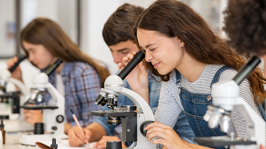
 

Freebies and Opportunities for Science and STEM Teachers, December 17, 2024

By Debra Shapiro

Freebies and Opportunities for Science and STEM Teachers, December 17, 2024


Educator Perspectives

Sharing Conference Learnings With Colleagues and Community

By Debra Shapiro

Posted on 2024-12-12

Sharing Conference Learnings With Colleagues and Community


CRISPR-Cas9 and Sickle Cell Anemia

By Elizabeth R. Everman

CRISPR-Cas9 and Sickle Cell Anemia

Archive: Science Update: Making a Marine Debris "MAP": Collecting Marine Debris Data with NOAA's Marine Debris Monitoring and Assessment Project, September 18, 2025

Marine debris is a widespread pollution problem in our ocean and waterways. It can harm wildlife, habitats, and our economy. This issue is human-caused, but it also has human solutions. One of the best tools we have to combat marine debris is understanding the distribution, abundance, and types of debris in the marine environment. The Marine Debris Monitoring and Assessment Project (MDMAP) is a NOAA initiative to measure the amount and types of marine debris on shorelines.

Marine debris is a widespread pollution problem in our ocean and waterways. It can harm wildlife, habitats, and our economy. This issue is human-caused, but it also has human solutions. One of the best tools we have to combat marine debris is understanding the distribution, abundance, and types of debris in the marine environment. The Marine Debris Monitoring and Assessment Project (MDMAP) is a NOAA initiative to measure the amount and types of marine debris on shorelines.

Marine debris is a widespread pollution problem in our ocean and waterways. It can harm wildlife, habitats, and our economy. This issue is human-caused, but it also has human solutions. One of the best tools we have to combat marine debris is understanding the distribution, abundance, and types of debris in the marine environment. The Marine Debris Monitoring and Assessment Project (MDMAP) is a NOAA initiative to measure the amount and types of marine debris on shorelines.

Marine debris is a widespread pollution problem in our ocean and waterways. It can harm wildlife, habitats, and our economy. This issue is human-caused, but it also has human solutions. One of the best tools we have to combat marine debris is understanding the distribution, abundance, and types of debris in the marine environment. The Marine Debris Monitoring and Assessment Project (MDMAP) is a NOAA initiative to measure the amount and types of marine debris on shorelines.


New NSTA Kids™ Book Inspires Students to Ask Questions and Make Discoveries

Wild Wonderings: Scientists and Their Questions’ Lively Stories and Colorful Pictures Spark Young Readers to Explore What it Means to be a Scientist While Enhancing Their Literacy Skills


From Chalkboards to AI

AI and Culturally Relevant Pedagogy: A Great 'pAIr'

By Valerie Bennett, Ph.D., Ed.D., and Christine Anne Royce, Ed.D.

Posted on 2024-12-09

AI and Culturally Relevant Pedagogy: A Great 'pAIr'


Freebies and Opportunities for Science and STEM Teachers: December 10, 2024

By Debra Shapiro

Freebies and Opportunities for Science and STEM Teachers: December 10, 2024

Archive: Science Update: Exploring the Applications of Low Earth Orbit Observations, May 8, 2025

The Joint Polar Satellite System (JPSS) is a joint mission between NOAA and NASA that observes Earth and provides critical data for weather forecasting in addition to many other climate change, agriculture, aviation, and disaster monitoring applications. Observations from Low Earth Orbit (LEO) satellites like JPSS provide scientists with daily information about how Earth’s dynamic systems constantly evolve.

The Joint Polar Satellite System (JPSS) is a joint mission between NOAA and NASA that observes Earth and provides critical data for weather forecasting in addition to many other climate change, agriculture, aviation, and disaster monitoring applications. Observations from Low Earth Orbit (LEO) satellites like JPSS provide scientists with daily information about how Earth’s dynamic systems constantly evolve.

The Joint Polar Satellite System (JPSS) is a joint mission between NOAA and NASA that observes Earth and provides critical data for weather forecasting in addition to many other climate change, agriculture, aviation, and disaster monitoring applications. Observations from Low Earth Orbit (LEO) satellites like JPSS provide scientists with daily information about how Earth’s dynamic systems constantly evolve.

The Joint Polar Satellite System (JPSS) is a joint mission between NOAA and NASA that observes Earth and provides critical data for weather forecasting in addition to many other climate change, agriculture, aviation, and disaster monitoring applications. Observations from Low Earth Orbit (LEO) satellites like JPSS provide scientists with daily information about how Earth’s dynamic systems constantly evolve.


Safety Blog

Lithium-Based Power Supplies: Safety Issues and Protocols Revisited

By Ken Roy

Posted on 2024-12-04

Lithium-Based Power Supplies: Safety Issues and Protocols  Revisited


Freebies and Opportunities for Science and STEM Teachers, December 3, 2024

By Debra Shapiro

Freebies and Opportunities for Science and STEM Teachers, December 3, 2024

Subscribe to
Asset 2