
Teaching Through Trade Books
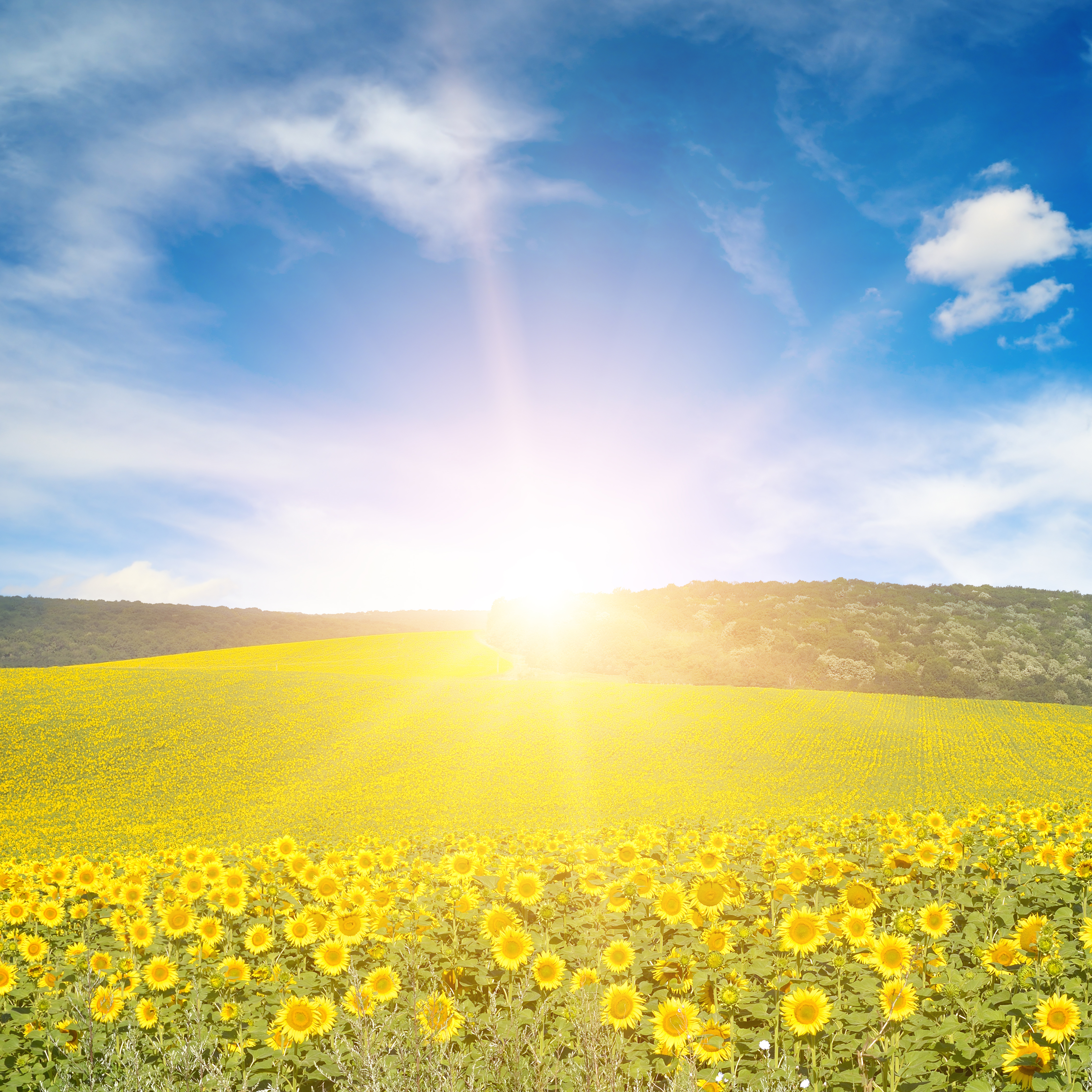
Seasonal Weather Patterns
One of the most basic crosscutting concepts in science is Patterns. This concept is often the first step toward asking questions that require deeper exploration. According to A Framework for K–12 Science Education (NRC 2012), students must be able to examine “observed patterns of forms and events [that] guide organization and classification, and … prompt questions about relationships and the factors that influence them” (NRC 2012, p. 84).
This month’s column focuses on how weather, the seasons, and the movement of the Sun can be observed, helping students understand that patterns are an overarching concept. Younger students are asked to make observations and collect information on how the time of the year affects the amount of daylight a location receives. Older students gather more information about patterns that exist in different locations as they examine weather.
This Month’s Trade Books
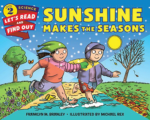
by: Franklyn M. Branley
ISBN: 978-0-06-059205-9
HarperTrophy
40 pages
Grades K–3
Synopsis
This story helps students explore how the Sun provides light and warmth for the Earth and how those characteristics, along with the revolution of the Earth around the Sun each year, create the seasons. Vivid illustrations accompany the content-rich explanations and recommendations for student activities.
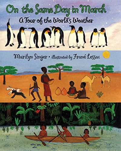
By: Marilyn Singer
Illustrated by Frane Lessac
ISBN: 978-0-06-4435284
HarperTrophy
40 pages
Grades 2–4
Synopsis
Using a common day in March, the story explores all of the potential different weather patterns that the world may experience on that day by visiting different locations on the globe. The Arctic is icy and cold, for example, whereas Louisiana is foggy. Illustrations show people from different locations and cultures as the text discusses the weather shown in each.
Grades K–2: Sunshine and Seasons
Purpose
To make observations about amount of daylight, which changes based on the time of the year, and the angle of the Sun’s rays, which affects temperature.
- Sunshine Makes the Seasons
- chart paper
- pictures of the seasons
- Sunlight Observation Sheet
- My Favorite Season Student Sheet
- Season Cards
- pencils
- oranges
- flashlight
- pins
- Season Simulator (see Internet Resources)
Engage
Provide students with pictures of the seasons. Ask them to brainstorm a list of characteristics about each season, and write them on the chart paper or board to create a list. Guide students to the idea that there are different amounts of daylight each season and, if you live in an area that experiences different temperatures depending on the season, that the outside temperature changes. Questions that may help this discussion include, “Have you ever noticed that during the summer it gets dark later than it does in the winter? What are different kinds of clothes you wear to go outside in different seasons? Why do you need to wear a coat in the winter but not in the summer?”
Before reading the story, use sunrise and sunset times from different parts of the year to help illustrate that the Earth receives sunlight for a certain amount of time each day. A concrete way to illustrate this for students who have learned to tell time is to physically move the arms of a clock to show how many hours and minutes each example represents. Then, read Sunshine Makes the Seasons and engage students in discussions around the following points. (Teacher note: This story and these questions are based on the seasons in the Northern Hemisphere.)
- pp. 4–5: The story explains that sunlight warms the Earth and that without the Sun, the Earth would get colder. Can you describe experiences you’ve had where it was warmer when there was more sunlight?
- pp. 6–7: Why do you think it is warmer in the summer? Think about day and night, and describe the temperature during both parts of the day.
- pp. 9–11: Describe what happens to the amount of sunlight we receive during different seasons. Compare the amount of sunlight the Earth receives in the summer to the winter.
Throughout the whole book, ask students to describe in their own words the key terms season, Sun, rotate, North Pole, South Pole, axis, equator.
Explore
During this phase, students should determine two key points: first, that the Northern Hemisphere gets different amounts of sunlight based on the season and second, that the Sun is higher in the sky in the summer, which means the sunlight is more direct. Refer to the example with the clock to describe to students that they are going to investigate why the amount of daylight the Earth receives varies. To help students understand the first point, allow students to try the activity described in the book or conduct it as a demonstration for the full class. Provide students with the opportunity to make observations related to what happens when the Earth’s axis is straight up and down and what happens when the Earth’s axis is tilted as it revolves around the Sun. As students make observations, ask them to record their thoughts on the Sunlight Observation Sheet .
Students can understand the second point by using an online computer simulation that models where the Sun is in the sky. Using the Seasons Simulator (see Internet Resources), help students to determine what happens to the Sun’s rays based on the season. On this website, there are three models.
Location on Earth
The model in the top right corner allows you to change the location of a person standing on the Earth.
- To demonstrate to students that where you are on the Earth affects the weather you experience, move the stick figure to the latitude for your city.
- Then engage students in discussing the point from the book that different parts of the Earth have seasons at different times, and that different areas on the Earth in the same north or south part experience different amounts of sunlight.
- Run the simulation by projecting it onto a white board and manually change the time of year on the month indicator. Select December, March, June, and September, which are the months for the equinoxes and solstices. Then, ask students: “When it is winter (December), what do you notice about the amount of sunlight that the top or North Pole of the Earth receives?” and “Similar to the activity with the orange, did the north or south part of the Earth receive more sunlight during each of the months?”
Angle of Sun’s Rays
The simulation on the bottom right shows the angle at which the Sun’s rays hit the Earth.
- After students discuss that location affects the amount of sunlight received, explain to them that there is an additional reason for the different temperatures on the Earth during the different seasons.
- Move the bar for the months of the year slowly. Ask students what they notice happening to the arrows that represent the Sun’s light. Repeat the movement of the bar several times, stopping at the four months of the year that represent the start of each season.
- This particular model shows that the Sun’s rays are more direct, or the Sun is higher in the sky, during the summer and that the rays hit us at more of an angle as we approach winter. Have students describe the direction of the rays during summer. Ask them where they think the Sun would need to be to cause the rays to come straight down. Repeat for winter. Ask them to continue to record their observations on their student data sheet.
Explain
Ask students to form groups of four, or conduct this activity with the whole class one season at a time. Show students the season cards, and have each student select one of the four seasons, or discuss one season at a time as a whole class. Students should use the following statements to discuss the causes of the seasons. Remind students of the key terminology they learned during the Engage phase.
- The top part of the Earth in our model is the north part, and at the very top of the Earth is the North Pole.
- During [insert name of season], the north part of the Earth is tilted toward/away from the Sun.
- During [insert name of season], the amount of sunlight the north part of the Earth receives is greater than/less than the amount of sunlight the north part of the Earth receives during [insert name of season].
- During [insert name of season], the Sun’s rays are more/less slanted than during [insert name of season].
Elaborate
Ask students to use the My Favorite Season page to select their favorite season. Ask them to illustrate the different characteristics of their season, such as falling leaves, snow, or hot summer days, in the appropriate section on the sheet. After they have created an illustration of their favorite season, ask them to complete the additional information that explains the amount of sunlight their season gets compared to other seasons, as well as the angle at which the Sun’s rays strike the Earth.
Evaluate
Students first connect the information in the story with their own experiences regarding temperature, sunlight, and seasons. Then students make observations using a kinesthetic model and a computer model, both of which require them to demonstrate an understanding of the position of the Earth in its path around the Sun and how that impacts the amount of sunlight Earth receives. Finally, students explain their understanding through comparisons of seasons.
Grades 3–5: A Picture of the Weather
Purpose
To use data to develop graphical representations of the weather in a particular location throughout the year.
- On the Same Day in March: A Tour of the World’s Weather
- map of the world
- Graphing the Weather student sheet
- Weatherbase website (see Internet Resources)
- What’s the Weather Student Cards
- Identify the Season Worksheet (see Internet Resources)
Engage
Ask students to look outside and describe what the weather is like today. As they are describing the weather, ask them to consider whether this weather is normal for the time of the year. For example, if it is winter, is the temperature average for the time of year? Does the precipitation, if any, make sense based on the temperature? Overall, what are the general weather conditions expected for the time of year and season? Share with students that scientists record and track information about the weather, such as precipitation, temperature, wind speeds, and cloud cover. Ask them why they think it is important to maintain such detailed information.
Using a map of the world, locate each of the places mentioned in the book in advance of reading the story. Once all of the places have been identified, ask students to make observations about where the places are and predict what the weather might be in March. Share the story On the Same Day in March: A Tour of the World’s Weather with students and stop to examine the narrative information about the weather in each place. For example: Alberta, Canada, seems like it has a very long winter. The book says that in this place, “you can’t even remember spring”; it is windy during March due to the Chinook Winds; and snow is melting. The Texas Panhandle might experience small tornadoes. Central Thailand is too hot for planting and cooking rice.
Explore
Tell students that they are going to gather weather information about a particular place and represent their data in a graph to determine whether there are any patterns. Using your own location as an example, demonstrate for students how they will look up the average monthly temperature and the total monthly rainfall over a period of one year. Visit the Weatherbase website that maintains this information, and click on the appropriate country and state for your location. Narrow down your location to the nearest town. Then show students how to interpret the average monthly temperature, which is listed in a table.
It should be noted that this is the cumulative average over a number of years—in this case, 101 years. Using this data, graph the results on a bar chart where the × axis is the month and the y axis is temperature. Ask students to discuss the following points: Is there any pattern that you see related to the average temperature? If so, describe what that pattern is. If we were to examine the temperature by season using December to February for winter, March to May for spring, June to August for summer, and September to November for fall, what do you notice about the average temperatures? Can you make a connection between this and the amount of daylight during each season?
Repeat this activity for graphing the average monthly precipitation. Then, ask students, “What patterns do you notice about the amount of rainfall?” Ask the students to repeat this process using the locations from the story by assigning them one of those cities. There should be more than one student researching each city. Ask students to use the Graphing the Weather student sheet to graph the average monthly temperature and precipitation.
Explain
Ask all students assigned a particular city to meet as a group and discuss the questions on the What’s the Weather Student Cards. Ask students to use the questions below, the map originally introduced, and the data obtained to describe the temperature and precipitation in their location for the entire year.
- Our city/country is__________ and it is located in the ______________ Hemisphere.
- This means that our summer months are ________________, _________________, and _____________.
- The month with the highest average temperature is __________________________. The month with the lowest average temperature is ___________________________.
- Compare this location to the place where you live. Make sure you use both temperature and precipitation amounts in your comparison.
- Based on the current season, what would you predict the weather will be in the future?
Ask students to form two groups: those with locations in the Northern Hemisphere, and those with locations in the Southern Hemisphere. Have them discuss the following: Describe the temperature in December compared to the temperature in June. What do you notice about the temperature, considering how far away from the equator you are?
Elaborate
This part of the activity is adapted from the Investigating Monthly Temperatures and Precipitation Lesson developed by PBS Learning Media, namely the Identify the Season review (see Internet Resources). Provide the copies of the worksheet (see Internet Resources) for the activity to each student. Ask students to determine what the season is for each pair of maps and to justify their reasoning based on their understanding of the weather.
Evaluate
Students demonstrate an initial understanding of weather conditions and seasons and extract information from the text about weather in different locations. Throughout the Explore and Explain parts of the lesson, they gather and record information about average monthly temperature and precipitation for their local area and one additional area discussed in the book. Finally, using maps, they apply their understanding of two weather aspects to determine a season of the year.